
 Offshore
 Clearance
 Offshore
 Survey
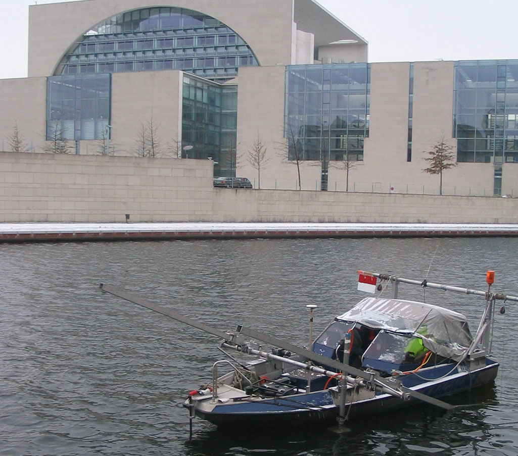
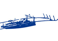 Surveying in rivers, lakes and ports
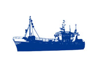 Marine
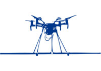 UXO Drone survey
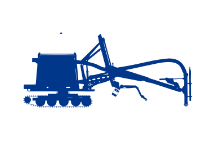 UXO Clearance with Crawler


SeaTerra GmbH provides a wide spectrum of marine geophysical surveying technologies for its customers. The existing sensor technology goes beyond the question of UXO load of an area. Including our own ships, we offer our customers an extensive range of services for exploring on-site obstructions, the composition of the sediment on the seabed, rivers and ports, detailed depth measurements and mapping.
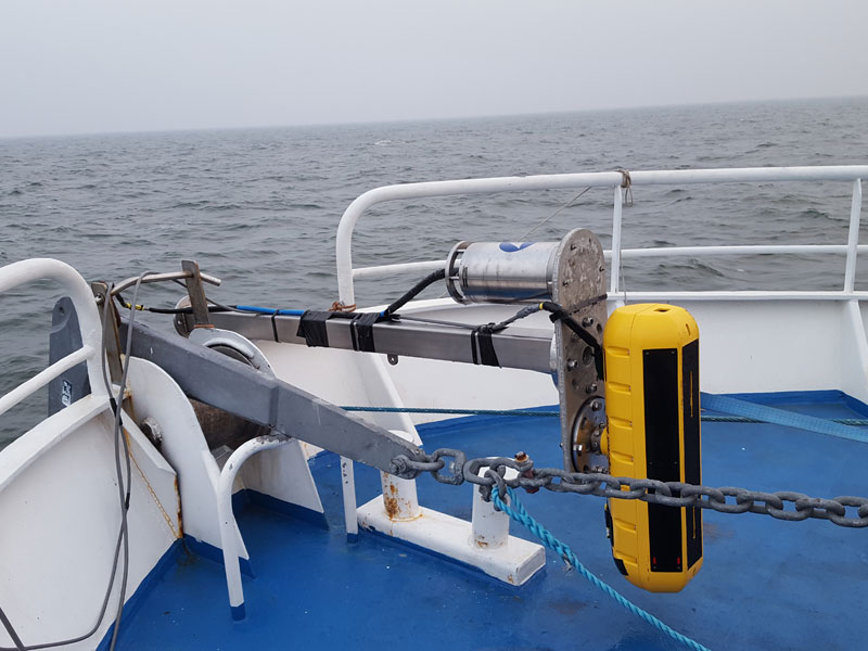
SENSOR TECHNOLOGY
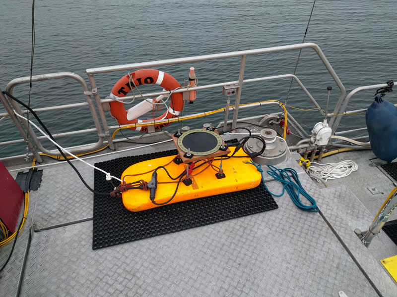
The SeaTerra pool of devices includes a large range of marine geophysical measuring and general surveying technologies.
- Total Field magnetometer (TMI)
- Vertical and horizontal gradient magnetometer
- Time Domain Electromagnetic Sensors (TDEM)
- Side-scan sonar
- Multi-beam sonar
- Blue-View sonar
- Sub-bottom sonar
MEASURING TECHNOLOGY
- G882 marine magnetometer
- Marine TDEM time domain systems
- M500 and V8 offshore ROVs
- ROTV towed underwater robots
- Heading sensors
- DGPS systems
- C-MAX and Edgetech side-scan sonar
- 6205-Edgetech multi-beam sonar
- Innomar SES2000 sub-bottom sonar
- Edgetech ORE Bats underwater positioning
- Geometrics seismic systems
- Video and sonar imaging (Blue-View)
AREAS OF APPLICATION
SeaTerra's high-resolution marine surveying service includes:
- Preliminary marine exploration
- Geological investigations of the subsurface
- Route, cable and pipe location/investigation
- Surveying for excavation work
- Bathymetry and hydrographic surveying
- Obstacle and object location/investigation
- Detailed structural surveys
- Scientific investigations
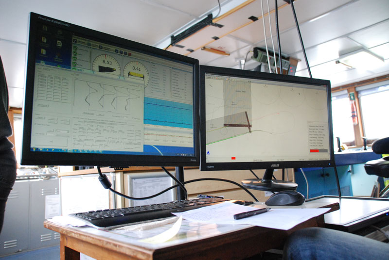
SOFTWARE
Various software packages are used to process data and generate plans. (ESRI ARC GIS, ACAD or GEOSoft databases).
CONTACT US
Please feel free to contact us in case of any queries about our methodology,
technology and availability.